Upon arriving in Cody last evening, I decided to take advantage of the weather and push on a bit further. Bad decision! As the sun started to sink past the desert horizon I entered the Bighorn Range.
"Located in north-central Wyoming, the Bighorn Mountains are a sister range of the Rocky Mountains. Conveniently located half-way between Mt. Rushmore and Yellowstone National Park, the Bighorns are a great vacation destination" (Quote of the official USDA Forest Service website) - How could I forget about that?!
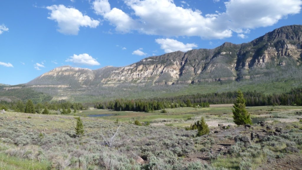
The wind picked up, picked up a bit more and suddenly I had trouble passing over a 1.5 mile long bridge crossing Bighorn Lake. Suddenly the road made a sharp turn and aimed straight at an endless gray mountain cliff. The pavement progressively got worse as the road climbed into the sky. After 30 minutes I reached the plateau covered with alpine meadows...and snow!! Cold, tired and disappointed that I couldn't see much of the natural beauty surrounding me, I tried to get off those mountains as fast as possible. That's when the pavement disappeared completely and was replaced by gravel, sand and some old construction signs lining what must have once been a road. Could it get worse? Maybe, but for sure it got darker. Both my auxiliary lights and my high beam burnt out and with a lot of guessing of what's in front of me I slowly, very slowly, worked my way down the mountain into lovely Dayton, WY...at 2:00 am.
Next morning, I was looking forward to an easy riding day through the Black Hills of South Dakota. I was pretty familiar with this area. It was my 3rd time riding through this beautiful place. But this time I planned to take as many dirt roads as possible. To my delight the gravel started much earlier than I expected and soon I got lost along the many little intersecting dirt roads with no signs to point me into the right direction. Well if one has to get lost... let it be in the Black Hills!
Lush wild flower meadows, dark green forest covered hills, a refreshing sounding mountain creek - absolutely lovely!!
Finally I found asphalt and soon by way of Deadwood I got to Sturgis - pilgrimage site to thousands of Harley Davidson riders every year.
In the meantime the temperature rose to 98 degrees and replacing my light bulbs at the local BMW dealer turned out to be quite a chore. Little did I know a heatstroke was the next chapter to come.
As I left Sturgis heading towards the Badlands National Park the temperature increased more and more. To save time, I decided to leave my helmet on while I was taking pictures. But as I got towards the end of the park I suddenly felt sick to my stomach and got really dizzy. The waiter at the park headquarters had a strangely concerned look as he served me numerous glasses of water.
By now I almost could smell home. Feeling a lot better, I got back on the highway to cross as much of the prairie in front of me before night would fall.

On the way to the Black Hills.


Out of the dessert.

And the fun starts...


Cows in Paradise.


Rest stop in the Black Hills.


I've fallen and I can't get up!


Motorcycle National Park!


and it's getting hotter and hotter...

Last service stop.


Buffalo Gap National Grass Lands.


Badlands National Park.


Errosion exposes sediments and fossils from millions of years ago.


Last Picture. The next day I just wanted to get home.
Thanks Jenny, Ellie & Max,
This was a trip of a lifetime!